Monday, January 17, 2011

The Bridge to Nowhere and the River to Somewhere


We went on a historical trip this past weekend. We traveled on the Wanganui River. It is one of NZ's 'Great Walks' even though it is a river trip. It starts on Mt. Tongariro and winds it's way along for 329km until it spills into the Tasman sea. It is New Zealand's longest navigable river.

It was used first by the Maori then by Pakeha (non-maori) to haul goods and people from the interior to the sea and back again. At the lower end of the river near the city of Wanganui there is a riverboat still chugging daily.

There are also rowing teams, water skiers and jet boats.

We had a jet boat meet us (two U of M med students and Cary and I) in Pipiriki to take us up river to the head of the trail to The Bridge to Nowhere. This was a 30km trip and I lost count on how many rapids the jet boat climbed with ease. A few times our driver, Joe, would stop and point out hazards for the canoeists on board (us).


                                 Joe

Everyone piled out and the other passengers went off on their hike and we got sorted out packing our barrels and loading up the canoes.


We then set out to the Bridge to Nowhere too. It sounds like a sad monument because it represents a sad part of NZ history. When the WW1 servicemen returned to NZ, the government of the day wanted to thank the soldiers by granting them land they could clear, farm, and live on. This land was almost in the middle of the island, it was very steep and thick with natural bush. A bridge was built in the middle of this bush across the Mangapurua River that fed into the Wanganui River.


The clearing proved impossible for the soldiers and after a few years of trying they left the land as is and really in the end said to the government, 'thanks but not no thanks'. They were not really compensated for their service in the war.
So in the end there sits a bridge in the middle of bush that comes from nowhere and leads to nowhere.

After this 1.5 hr hike we returned to the canoes and headed down river on our adventure. It is a beautiful river and there is a strong current that pushes the canoe along. The cliffs on each side are so high one has to crane their neck in order to see the top edge. Every now and then we would hear a tropical bird sing it's song or a bird of prey would majestically swoop along the cliff walls.

We landed at our campsite after 2 hours of paddling. Across the river was a Maori marae. It is their meeting place and if we wanted to camp there we would need to give them a koha (gift) and they would welcome us in. Across from the marae was Joe's Lodge which had accommodations and a bar.

We chose to stay where we landed and set up camp.


view across the river


We left the next day with 4 hours of paddling ahead of us. We were having wonderful temperatures, light winds, and sunny skies.

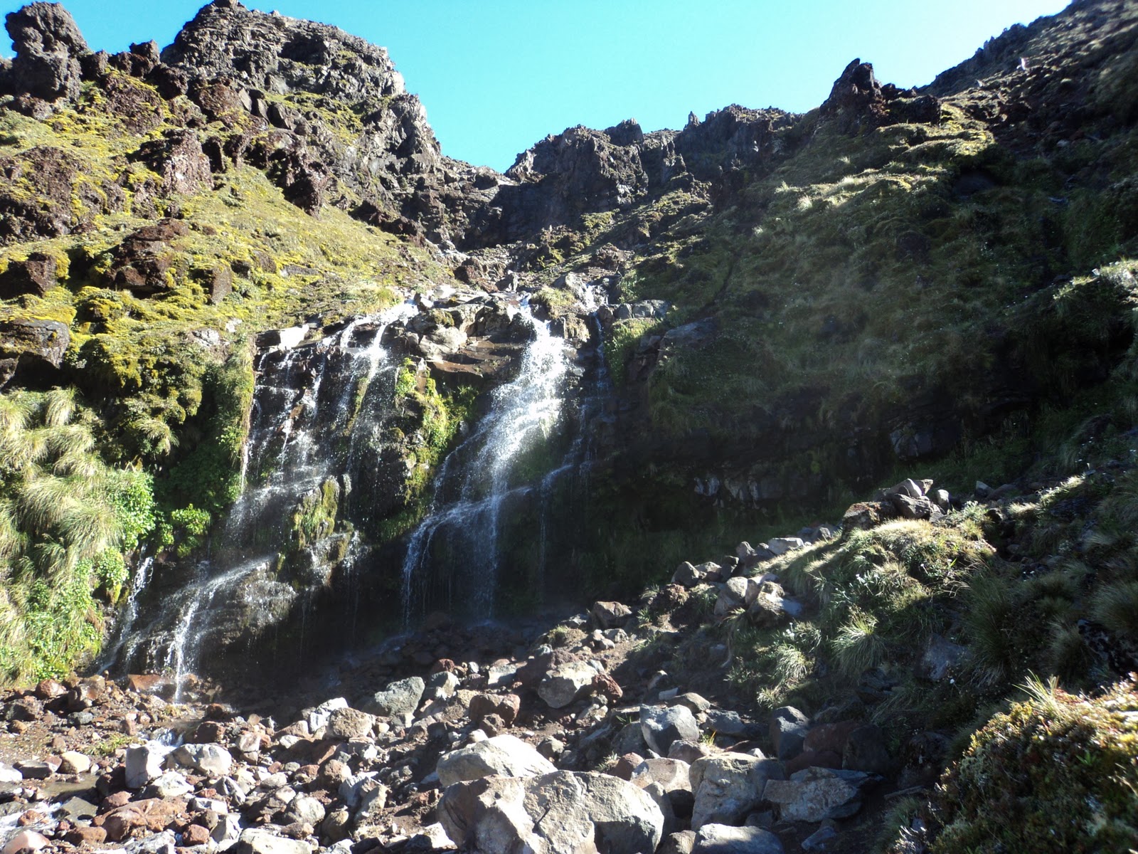
There were some caves to explore. There were deep, ice cold pools, gushing water- falls and the cave walls were thick with ferns and moss.


Cary went for a naked swim in a cave pool and after 30 sec became completely numb. When he was climbing out I saw a huge eel slime its' way under a rock. That was cool!


The rapids were thrilling and took a bit of negotiating to maneuver safely. We were quite winded and sunned when we returned to Pipiriki. It was very satisfying to complete such a historic trip.

Thanks for reading!

Monday, January 10, 2011

Three Sisters Rocks


The Three Sisters Rocks are near the town of Tongaporutu on the west coast just north of New Plymouth. They can only be reached on a low tide and this was our 2nd attempt at trying to see this marvelous beach.


reflections


                                          elephant

                                         Willy, Jake and Simon hunting for crabs


It was a great day but we have now learned (learnt- as the kiwis spell it) that there is another cave we must see just down the beach from where we were. Just south of the Tongaporutu rivermouth are two rock stacks with a cave. There are ancient footprints 4m up from the sand floor. For many years the Maori would use this cave for shelter when travelling by canoe between the Waikato and Taranaki Regions. Local lore states that the infamous chief Te Rauparaha and his female companion rested here to recover from his debilitating attack of boils.

When the companion lanced the boils, the chief braced himself against the cave wall. There are impressions of his hands and feet that can be seen clearly today. The chief was reputed to have 6 toes. As evidence, 8 footprints in the cave have 6 toes. A must see for sure!

Thanks for reading!

Wednesday, December 29, 2010

The Tongariro Crossing


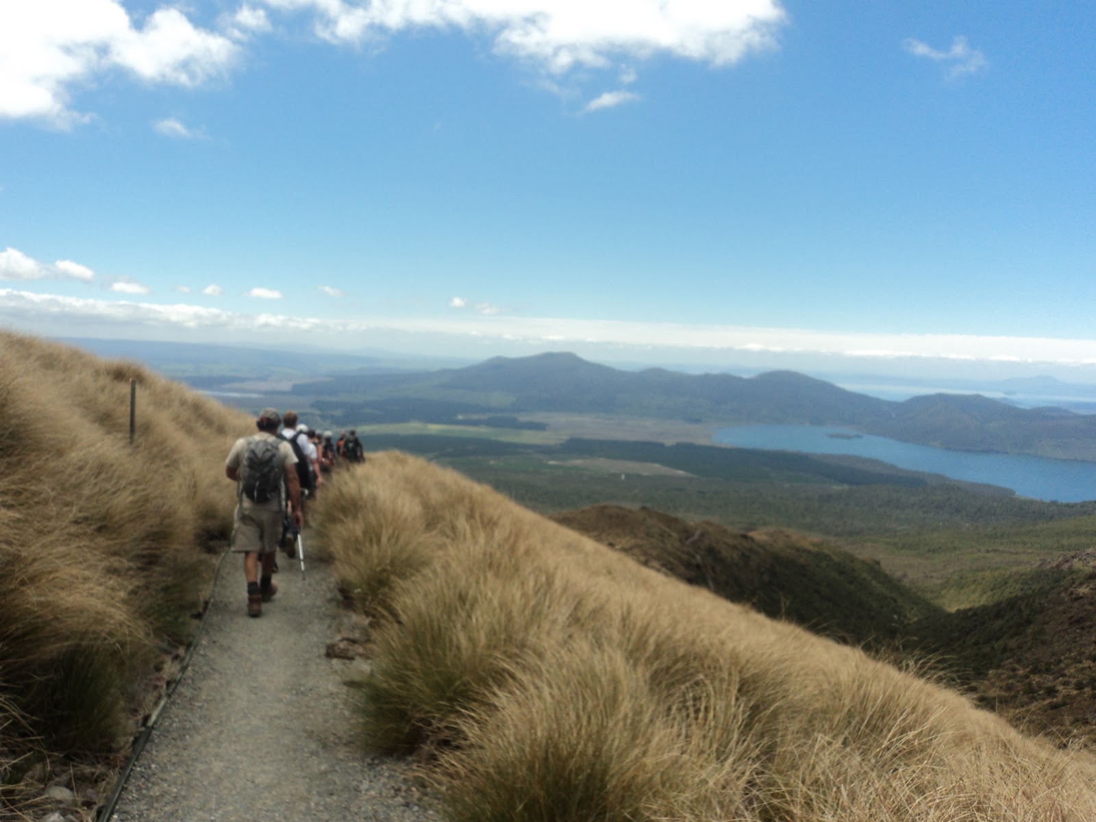
The Tongariro Alpine Crossing is one of New Zealand's 'Great Walks'. It is 19.4 km over steep volcanic terrain. We did it in 7 hours! It circumnavigates Mt. Ngauruhoe (2287m)  (Mt. Doom for Lord of the Rings fans) and affords great views of Mt. Tongariro. We had to wait for perfect weather which was delivered on Dec. 29, 2010.


Many people were all waiting too and busloads were dropped off by shuttle buses at 7:45 am at the Mangatepopo car park.


It was a bit like walking in a queue all out for the Boxing day sales!  It was well worth it though!
The only bonus to having so many people about was it offered the chance to 'people watch'. There was one gal with blue Genie pants and red Maryjane shoes on- and she finished before us!
There were couples with babies and there were older people too, puffing it out up the steep parts. Good on ya!

The weather is known to change quickly so we were ready for heat, cold and rain. We also carried 2 L of water each and a lunch. The track passes through a variety of vegetation zones ranging from alpine scrub, tussock, no vegetation to lush podocarp forest as we descended through the Ketetahi forest to the end of the track.


So with aching feet and sore leg muscles we finished in time for the 3pm bus. We had a great sense of achievement!

On our way home we decided to visit Waverly Beach to finish off an already fabulous day.


All in all a great day!
Thanks for reading!

Thursday, December 9, 2010

Napier -East coast

We finally got over to the east side since our September trampings. We discovered a funny town called Norsewood on the way to Napier. It had vikings and trolls everywhere. We felt at home! It was settled by Norwegians in the 1800's. In 1888 a bush fire razed the town, where the church burned down but the pub was saved. The Norwegian Government celebrated Norsewood's centenary by sending a fishing boat over called Bindalsfareing.


Cary bought some wool socks from a store called Norsewear. They are supposed to be as tough as a pig's snout. After a picnic lunch we went on to Napier.

This is Hawke's Bay largest port city. This city was flattened in a 7.9  earthquake in 1931. It had over 600 aftershocks in the two weeks that followed the devastating event. They rebuilt the city in what is now known to be the world's finest collection of Art Deco buildings. Telephone lines were run underground, verandas were cantilevered, streets were widened and almost everything was styled in Art Deco.


It was quite Christmassy in Napier.


The town also had a statue called Pania of the Reef.


She has a similar history to Copenhagen's Little Mermaid, in that she was stolen then returned in 2005.

Maori legend states that Pania, a sea-maiden, would swim into shore to drink from the freshwater spring at the base of Bluff Hill, then swim back to the ocean in the morning. A young chief waited for her one evening and convinced her they should marry. So Pania went back to the sea to say good-bye to her family, but they wouldn't let her go and she turned to stone. Fishers and divers say, when they go out to Pania Reef, they can still see her with her arms outstretched towards the shore.

The Hawke's Bay region is known for it's production of grapes for wine, apricots and cherries, apples and pears, chocolates and honey. We didn't get to a winery this time but we did visit the Arataki Honey Farm. It is delicious!

We drove up to the top of Bluff Hill Lookout. You could see the coastline winding it's way towards Gisborne , to the north, and looking south one could see Cape Kidnappers peninsula. This cape is known for its' 5000 pairs of Gannets. They are the world's largest gathering from June - Nov. They are related to the Booby family. In late November they fly 3000 Km to Australia where they spend two years doing whatever gannets do. Then they return to New Zealand for the rest of their lives.

Cape Kidnapper was named after James Cook had anchored here and had an unfortunate encounter with Maori traders. They spied two of Cook's Tahitian interpreters aboard the Endeavour, and captured one of them thinking they were being held against their wishes. I'm not sure about this reasoning. According to history Maori's were cannibals so I'm thinking he just looked tasty. Anyway, he escaped and got back to the ship.

We drove by Napier's Sailing Club and then headed south along the beach to find a camping spot. Certain areas have freedom camping. We found one on this pebble beach and you just stake out a spot and it's all good. The waves were crashing all night and they lulled us to sleep. The next morning I found Cary reading a book about Woodstock that he got from the library. Say no more!


On our way home we drove 35 minutes off the highway to go to Te Angiangi Marine Reserve. We snorkelled and saw Paua shells, little grey fish with a black spot on it's side and other fish I wish I knew their names. It was quite nice because there were families enjoying the beach and the beautiful sunshine. It was a great ending to a great weekend.


Thanks for reading!