The East Cape (aka- The Hitchhiker's Thumb) has always been out of our reach to visit because it is exactly on the opposite side of the North Island from Hawera, and there is not a direct route across. It is a 7 hour drive to reach Gisborne, and that is without making any stops. Our chance arrived when we had a long weekend created by Taranaki Day on the Monday, March 14. As a bonus, our friends Myska and Piddy wanted to come along, and beautiful weather was predicted to boot!
We headed off on the Saturday morning, through Rotorua, then onto Whakatane (Faka-tanee), in the Bay of Plenty. It is aptly named because, Whakatane had plenty of sunshine in 2010, in fact, the most in all of New Zealand. We arrived in town during a festival celebrating this event.

Whakatane has a lovely harbour inlet and this is the view from the information centre (i-site).

This is a mural that was along a street.

This tunnel was between two streets. There are interesting high cliffs and caves here.

Watch out!


This is Muriwai's Cave. It is one of the most sacred and historically significant sites in the Whakatane Region. The cave mouth was once at the oceans edge and the cave could seat 60 people and it extended 122m into the hillside.
Muriwai, daughter of Irakwea, came to live here. She was a Priestress whose advice was often sought. Muriwai is from the Mataatua tribes, and it is said that her mana (power) has endured centuries.
We then headed along the Pacific Coast Highway #35 otherwise known as 'the coast'. From Opotiki to Gisborne it is 334 Km.
We needed to find a camping spot though, as the day had already been quite long. The whole East Cape is known for it's Freedom Camping. This is what you come to New Zealand for. To pick a spot on a beach and set up. No fees, no rangers, no rules. The only thing one must do is take out all rubbish, and leave the beach as you found it......pristine. We settled on Waiotahi Beach just outside Opotiki Beach.
We had a great view of the eerie White (Whakaari) Island, New Zealand's most frequently active volcano.


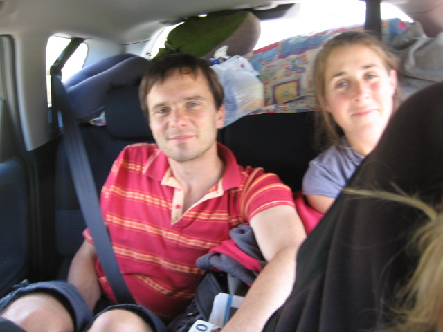
Our friends slept on a tarp because they couldn't find their tent (found the next day though.)
Piddy had snails crawling in his hair in the morning.

We set up here but in the wee hours of the morning a truck cut off the road and breezed by our tent to drive along the beach. That was close!

Sunset on Waiotahi Beach

We met a couple, he was from Belgium and she was from New Caledonia (an island between and north of Australia and NZ). They had been hitchhiking and were on their way up to the Coromandel Peninsula. He had been travelling since 2005!
On Sunday morning we drove from Opotiki to Waihau Bay where the movie, 'Boy' was filmed. This stretch of Hwy #35 is one of the most scenic coastal drives that we have done that includes Pohutukawas trees, carved Marae, churches, little coastal settlements, nooks, coves and crannies. It was very hard to stay in the car. Though, we just had to stop for a coffee and an ice cream at a Macademia Nut Farm.

Then we had to stop for a swim and snorkel at Waihau Bay!

We stopped at Tolago Bay for the night where there was another Freedom camping spot. We walked the Tolago Bay Wharf which is famous for being the longest wharf in New Zealand at 660m. It is dwarfed by massive cliffs and a white sand beach that stretches out along the bay. We met a couple from Austria who cycled from Gisborne(55km) away.

We had the most beautiful sunrise! The folks along the East Cape are the first in the world to see the sunrise. Blue sky, glistening waters, playful seals.
We then packed up and drove into Gisborne. It is a beautiful area, though the port is busy with logs being stored and loaded onto ships. We walked to the point where Captain Cook landed in 1769. C.C's ship Boy first spotted the cliffs and Bay. C.C named the point Young Nick's Head. After the ship anchored, his men spotted Maoris on the beach. They rowed ashore, had a scuffle , killed a few then scuttled back to their ship. They sailed away without having stocked up, thus C.C named the Bay, Poverty Bay.
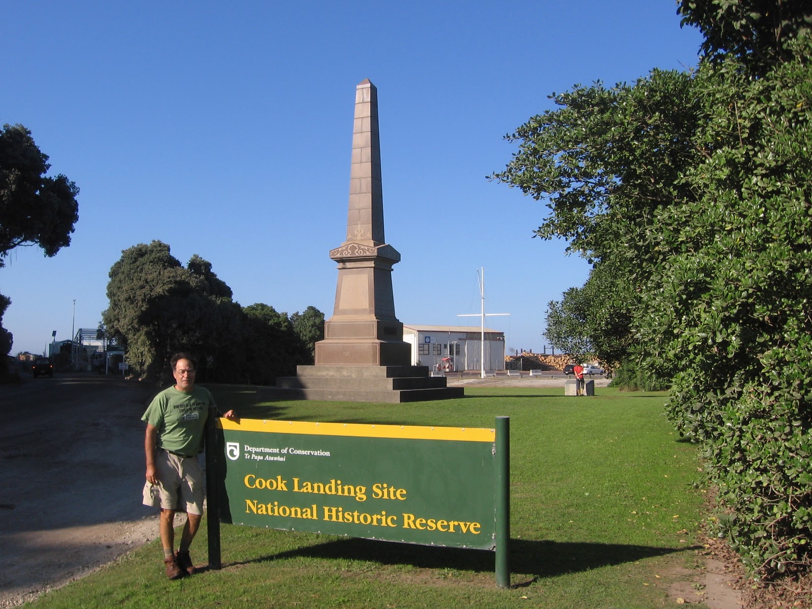
Captain Cook

A Marae, with intricate carvings, was on the other side of the hill where C.C came ashore.

After a hearty breakfast, at 12 noon, we carried on the road trip. We had seven hours to go to return home. We drove on and on and only stopped in Bulls for a Ke-bab. We had great company, beautiful weather , stunning sunrises and sunsets, and safe travel. What more could anyone ask for?
This was our last big road trip before leaving this beautiful country.
Thanks for reading!
Sarah - what an amazing trip you've had! I think you've been and done more than I ever thought possible! Now back to the chill of a Manitoba winter!!
ReplyDelete